GPS observation of geophysical deformations induced by non tidal loading
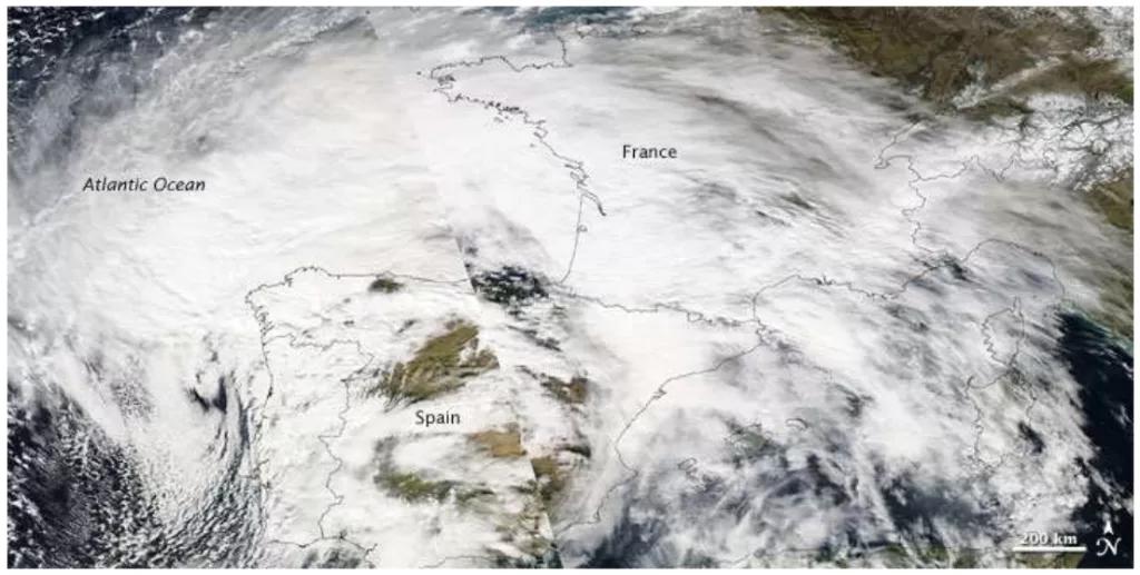
The temporal and spatial redistribution of the environmental masses deform the surface of the Earth. These deformations are observable by space geodetic techniques such as GNSS. Since highly accurate IGS satellite and clock data are available and sophisticated algorithms have been developped, the integer fixed ambiguity Precise Point Positioning (iPPP) method opened a new era for the Global Navigation Satellite System (GNSS) analysis and its application in geophysical studies. This work is among the first studies to investigate the different loading effects using iPPP time series, particularly using the GINS-PC software and the new, reprocessed REPRO2 orbit and clock products of GRGS (GR2). We aim to exploit the sub-daily iPPP time series to study various Earth deformation effects at different time scales, from sub-daily to seasonal and annual periods. Our goal is to contribute to the validation of geophysical models, to the observation of the various non-tidal phenomena, as well as the presentation of the performance of the iPPP mode and the GINS-PC package that is a powerful tool for geodynamical applications, and to investigate the influence of the loading effects on geodetic time series interpretation. After an overview of the main deformations of the Earth's surface, we present the geodetic techniques that already demonstrated their potential in deformation analysis, in particular in loading deformation studies. We then review the GNSS technique and the iPPP processing mode as it was our choice for the data analysis. We then demonstrate two regional studies. The first one investigates the influence of the loading effects on GNSS campaign to determine tectonic velocities in the Pyrenees mountain chain. The second case study attempts to track the spatial and temporal evolution of an extreme storm event, the Xynthia windstorm that occured in France, in 2010. This study also tries to identify the ocean's response to the fast moving low pressure system using sub-daily iPPP time series. Finally we go towards a global study which gives base for future research.
M. Ferenc
- Laboratoire Géomatique et Foncier - Paris, CNAM

